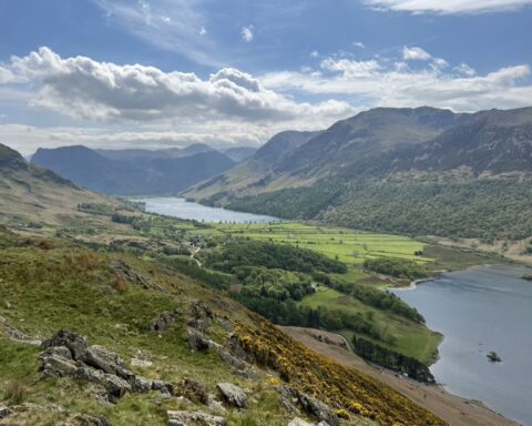
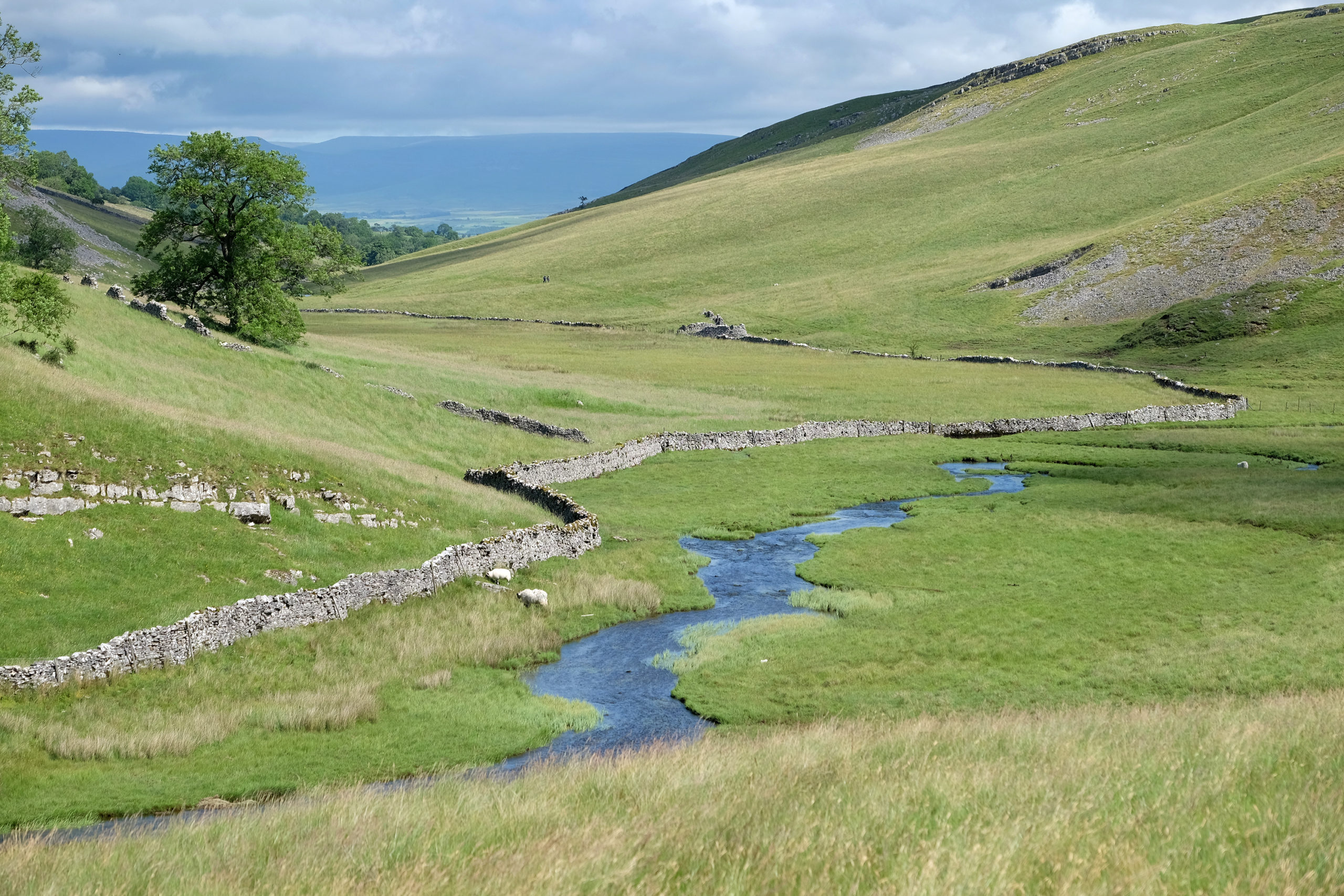
The Yorkshire Dales National Park consists of 860 square miles of beautiful and varied countryside that straddles the Pennines, the long chain of hills running up the middle of northern England. Expansive heather moorland tops, several of them more than 2000ft high, are divided by idyllic valleys, known as dales, where pretty villages and traditional stone barns sit surrounded by wildflower meadows. The National Park is also famous for its limestone scenery – probably the finest in Britain – which includes caves, dry valleys, and the clints and grykes of limestone pavement.
The National Park was established in 1954, the seventh to be designated following the landmark National Parks and Access to the Countryside Act of 1949. It was significantly extended north and west in 2016, bringing in parts of the historic counties of Lancashire and Westmorland. Now, almost one-third of the Yorkshire Dales National Park falls within the modern county of Cumbria, stretching from the market town of Kirkby Lonsdale on the Lancashire border in the south almost all the way up to Appleby-in-Westmorland in the north.
Among the many highlights of the Cumbrian section of the park are the Howgill Fells, including its highest point, The Calf, and the waterfall of Cautley Spout; the valley of Mallerstang and the high, lonely moors enclosing it, including Wild Boar Fell; and the lower hills and limestone scenery of the Westmorland Dales taking in, among others, Great Asby Scar, Smardale Gill and Crosby Ravensworth Fell. The area’s towns and villages are well worth a visit too – Kirkby Lonsdale, gaining a reputation as a great place for foodies; England’s book town, Sedbergh; Kirkby Stephen on the banks of the River Eden; and the unspoilt villages of Dent, Ravenstonedale, Orton, Crosby Ravensworth and Maulds Meaburn.
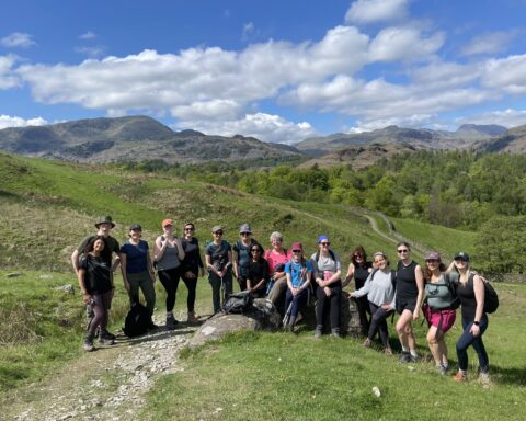
Using one of these settlements as a base, visitors can get to know the Cumbrian part of the National Park as well as venture into North Yorkshire to explore further afield. Just over the county border are the Three Peaks – Whernside, Ingleborough and Pen-y-ghent – a trio of some of the most distinctive-looking hills in England. A popular challenge walk has developed around the Three Peaks, with walkers climbing all three tops in less than 12 hours. Covering 24 miles and more than 5000ft of ascent, it’s quite an undertaking. (It’s not to be confused, though, with the National Three Peaks challenge which involves scaling Scafell Pike, Snowdon and Ben Nevis.)
The picturesque valleys of Swaledale and Wensleydale are both about 15 miles from Kirkby Stephen, while the breathtaking limestone scenery of Malham is just 45 minutes from Kirkby Lonsdale. The latter is probably best known for Malham Cove, a massive, curved wall of bare rock topped by one of the most expansive areas of limestone pavement in the British Isles. Also close to the county border is the Ribblehead Viaduct where the trains of the Settle to Carlisle Railway cross the bleak moorland on 24 massive arches, more than 100ft high. It’s quite a sight, particularly against the backdrop of Whernside and Ingleborough, the National Park’s two highest peaks.