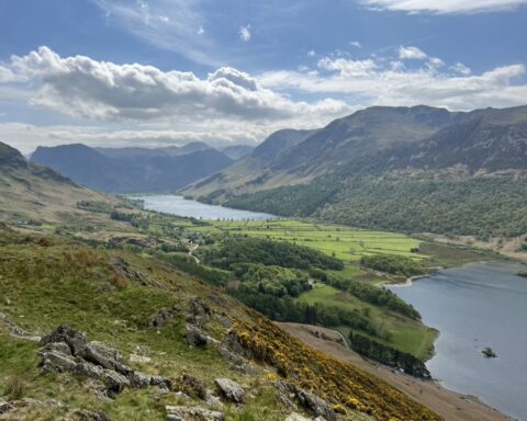
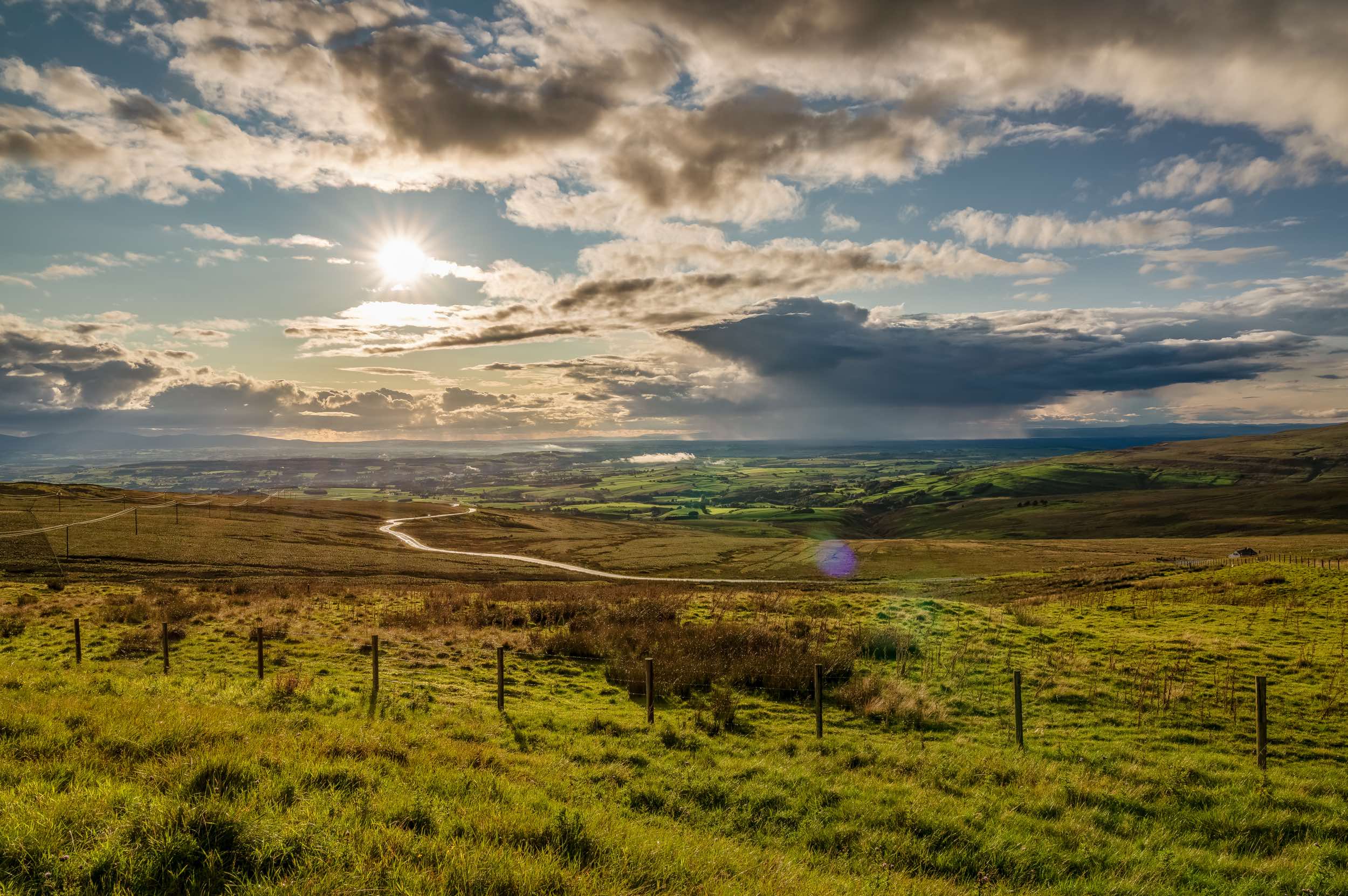
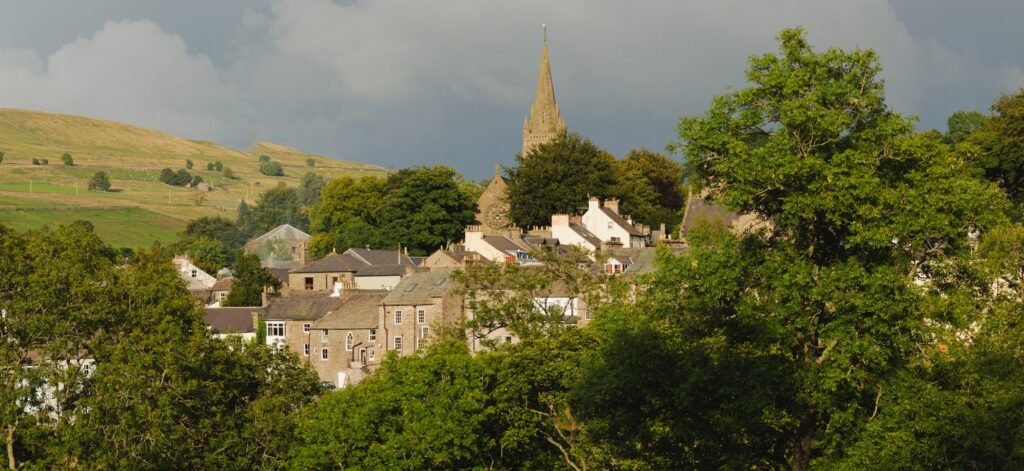
Highest Market Town in England
Located at about 1000ft above sea level, Alston is one of the highest towns in England. It’s an enchanting place to wander around – its steep, cobbled main street is a sight to behold. The street is lined with several attractive buildings, some dating back to the early seventeenth century.
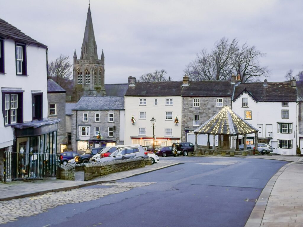
The Market Cross in Alston
The Market Cross in Alston, originally erected in 1764 and rebuilt in 1883, 1970, and 1981, is rich in history. This structure is noted for its square plan and distinctive architectural features. Among its features, the structure includes block plinths and monolithic columns with bell caps. It also boasts a pyramidal stone flag roof, topped with a 20th-century lantern. Additionally, there are inscriptions on its shaft detailing its rich history. The original inscription, now housed in the Parish Church, commemorates its erection. It was established by Sir William Stephenson, a native of the parish and the Lord Mayor of London in 1764.
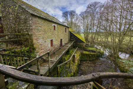
Alston’s Industrial Roots
Like many settlements in the North Pennines area, this place shares a common history. Its growth, similar to nearby Garrigill and Nenthead, owes much to the lead mining industry. In the eighteenth century, the lead mining operations were largely conducted by the London Lead Company. This Quaker-owned institution showed a significant interest in its employees’ welfare. It built a school, library, and other facilities in the town.
The Highest Narrow Gauge Railway
From 1840 to 1976, Alston was linked to the main Carlisle to Newcastle railway line by a 14-mile branch line. Part of this area now serves as the South Tyne Trail, a 23-mile walking and cycling route. Meanwhile, the southern end has been converted into a narrow-gauge railway, which holds the distinction of being the highest of its type in England. The South Tynedale Railway runs north for five miles, from Alston to Slaggyford, just over the county border in Northumberland. Steam-hauled passenger services usually operate from spring to autumn, with Santa ‘specials’ in December.
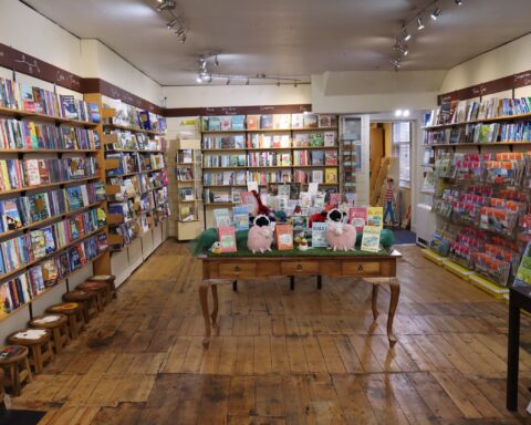
Take a Break in Alston
Alston is home to several small hotels and B&Bs. Additionally, it features a YHA hostel that is popular among long-distance walkers completing the Pennine Way and cyclists on the Sea to Sea (C2C) route. The latter, referring to the Sea to Sea (C2C) route, passes close to Alston. This involves climbing the A686’s infamous switchbacks up to Hartside Pass, one of the highest road passes in the UK.
Yad Moss Ski Area
Seven miles south of Alston, you’ll find an English rarity – a ski centre. Yad Moss isn’t exactly St Moritz, but it boasts a ski tow and several runs. Additionally, there’s a tiny, heated hut that provides much-needed shelter from the biting Pennine winds.