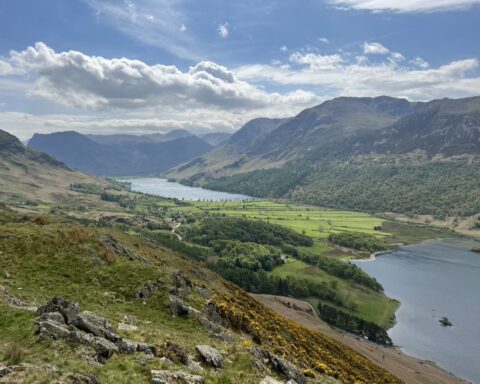
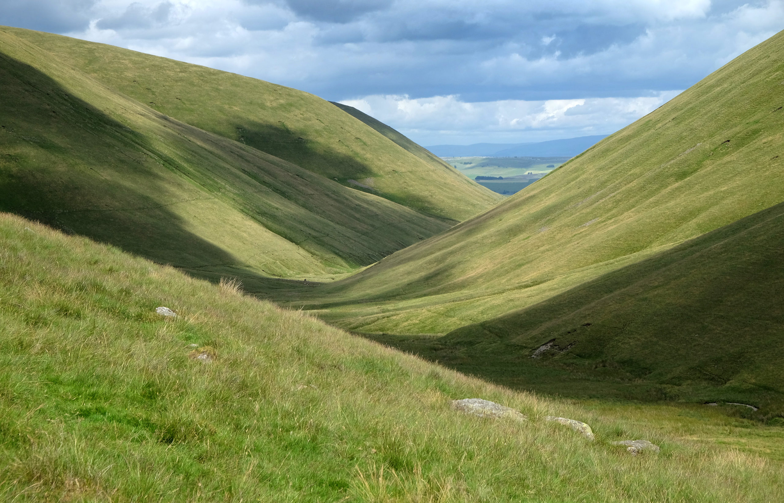
Like much of Cumbria, the Howgill Fells make excellent walking country, but this compact group of brooding giants in the county’s south-east corner have their own unique identity that sets them apart from both the Lake District and the rest of the Yorkshire Dales. Rounded tops with steep, grassy slopes make up a great dome of hills which the guidebook writer Alfred Wainwright likened to “a huddle of squatting elephants”.
If you decided to walk the group from south to north, it’s a little more than eight miles from Sedbergh to Bowderdale. From east to west, at its widest point, it’s about seven miles. The highest point is The Calf (2217ft/676m). From the trig pillar on this windswept summit, as you turn 360 degrees, the hills march off into the distance: the North Pennines, the Yorkshire Dales and, to the west, the hazy blue outline of the Lake District’s high central fells.
Centrally located, The Calf is the culminating point of many walks on to the high ground of this massif. From here, long, whaleback ridges radiate out in all directions, making for easy, invigorating walking – unfettered by walls or fences, with no crags to surmount and little in the way of bog, peat hags or even heather to slow walkers down.
In a landscape composed mostly of smooth, grassy slopes, three features stand out as anomalies: Cautley Spout waterfall, the mile-long cliff face of Cautley Crag and, on the western side of the group, the narrow, rocky ravine of Carlin Gill, visited only by those with scrambling skills.