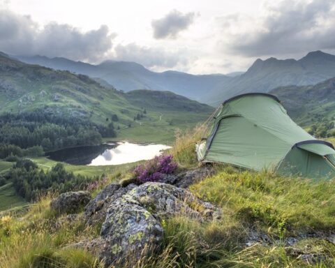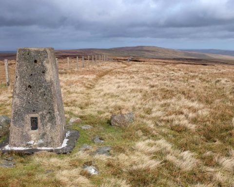
At 2929ft, or 893 metres, above sea level, Cross Fell is the highest point on the Pennine chain of hills that stretches all the way from the Peak District to the Tyne Valley. It’s also the highest point in England outside of the Lake District.
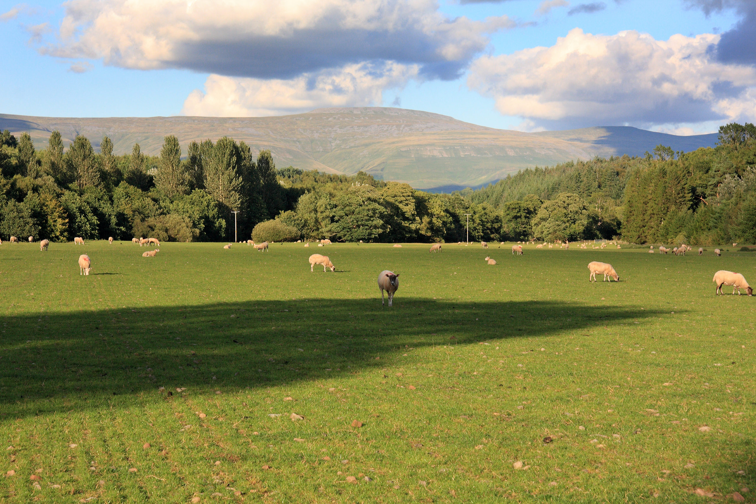
This massive dome, visible from much of northern and eastern Cumbria, towers authoritatively over the rolling farmland of the Eden Valley. Its bleak summit plateau, ringed by a necklace of boulders and scree, is often the first place in England to get snow, usually in late October, and often holds on to patches of the white stuff well into May. This is a harsh environment where rare arctic-alpine flora such as Alpine foxtail and starry saxifrage continue to cling on, as they have done since the end of the last glacial period 10,000 or so years ago.
Cross Fell is closely associated with the Helm wind, the only named wind in Britain. This occurs when a north-easterly air flow hits this high part of the Pennines. The result is a ferocious easterly that rampages, sometimes for days on end, through the fellside settlements of the Eden Valley.
As bleak and inhospitable as it is, Cross Fell remains a beacon for walkers. One of the shortest and easiest approaches is from Blencarn in the Eden Valley, although the summit can also be reached in a long day’s walk from Garrigill in the east. Pennine Way walkers arrive at its recently reconstructed summit shelter knowing that this is the highest point on their 268-mile journey. Its northern slopes are crossed by an old corpse road that is now a bridleway. Before the churchyard in Garrigill was consecrated, villagers used to have to carry their dead along this high, remote path – across the roof of the Pennines – for burial in the Eden Valley.
The long, high ridge stretching south from Cross Fell’s summit takes in Little Dun Fell (2762ft/842m) and Great Dun Fell (2781ft/848m). The latter is topped by a giant golfball-like structure that is, in fact, a civilian air traffic control radar station. All of these summits and the surrounding moorland form part of the North Pennines Area of Outstanding Natural Beauty, the second largest AONB in the UK.