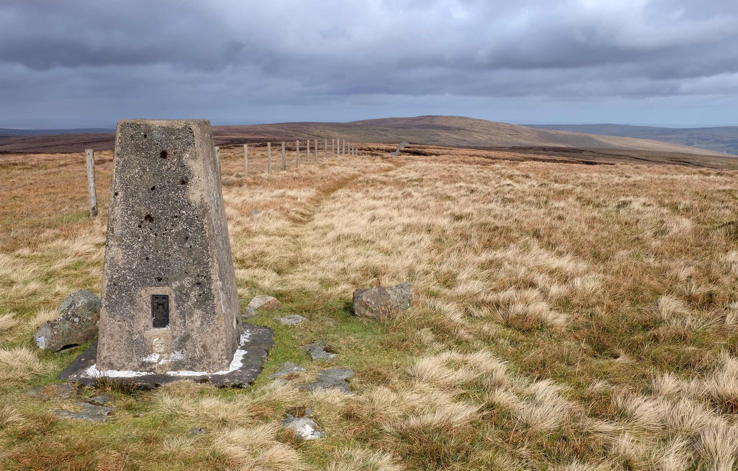
Sometimes referred to as England’s last area of wilderness, the North Pennines form part of Cumbria’s eastern border. This is the highest and most remote section of the long line of hills that runs all the way from the Peak District in the south to the Tyne valley in the north.
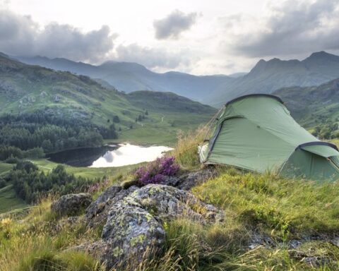
From Cumbria’s Eden Valley, steep slopes lead east to the top of the escarpment and the Pennines’ wildest country. This is where you’ll find heather moorland, blanket bog and upland hay meadows. Earth processes have come together here to create spectacular landscape features, including High Cup and High Force, and it’s also where you’ll find Cross Fell, the highest point in the Pennines. This is also where rare species such as hen harriers, black grouse and water voles cling on to a fragile existence. For a chance of spotting some of this special wildlife, head to the RSPB’s massive Geltsdale nature reserve, most easily accessed from Hallbankgate, four miles east of Brampton.
On the eastern side of the escarpment, high in the hills, are settlements that developed largely as a result of the lead mining industry. Within Cumbria’s borders, these include Garrigill, Nenthead and Alston. These are among the highest towns and villages in the UK – located between roughly 1000ft and 1430ft above sea level – and are often cut off by snow for days on end in winter.
Most of the Cumbrian part of the region falls within the North Pennines Area of Outstanding Natural Beauty. The second-largest AONB in the UK, this also takes in parts of Northumberland and County Durham as well as a tiny fragment of North Yorkshire. Being an AONB affords the area special conservation status – a level of protection second only to that given to the National Parks.