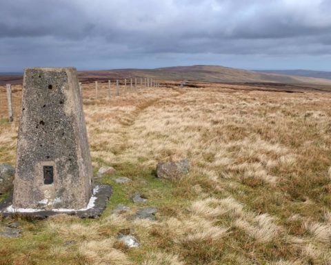
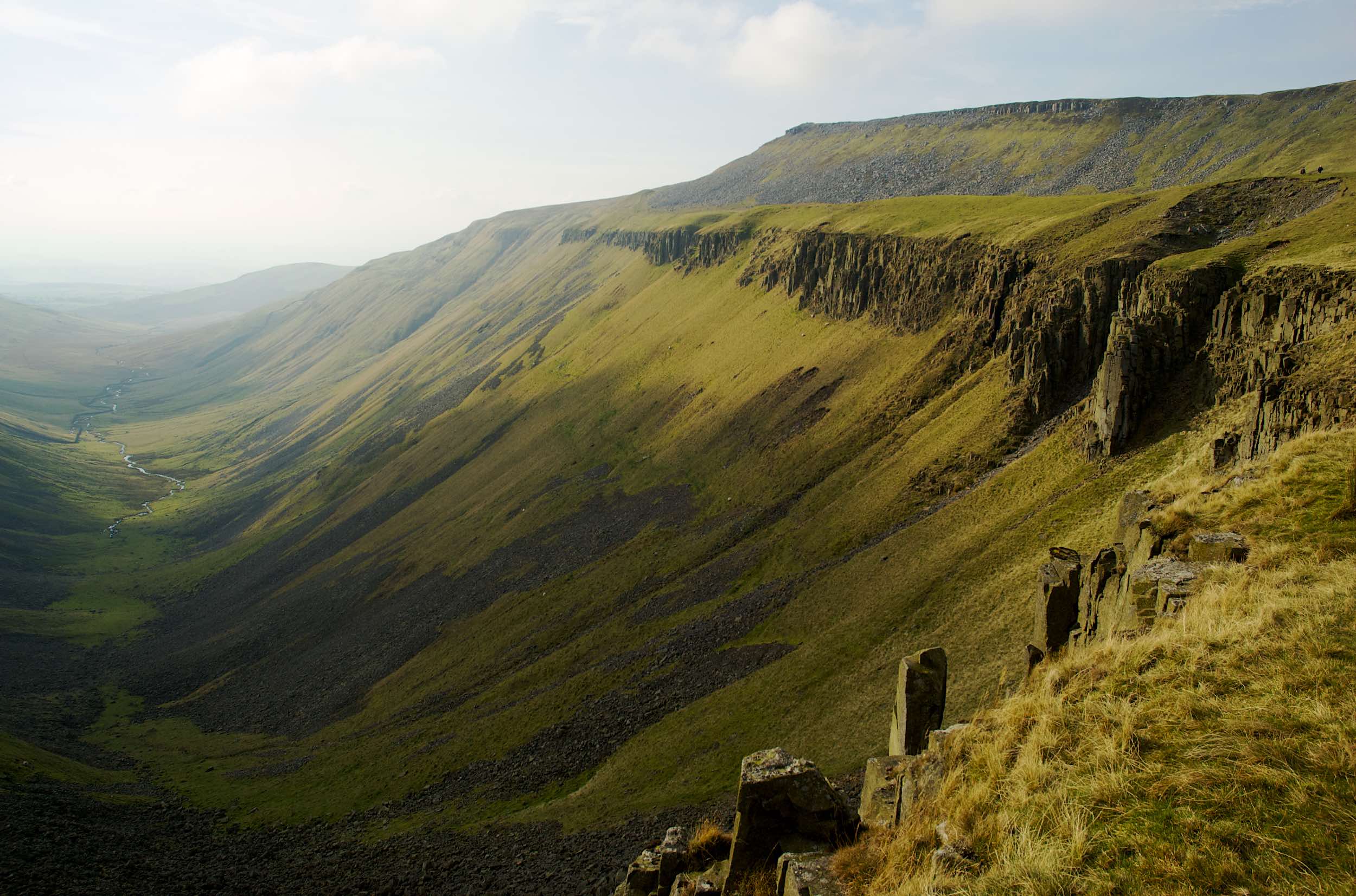
The Pennines aren’t famous for their ‘wow!’ moments; their high, rolling moors, although magnificent in many ways, generally lack the rocky drama of places such as the Lake District. The most notable exception to this is High Cup, probably one of the most spectacular features along the entire length of this long chain of hills.
Nothing can prepare walkers approaching it from the north or east for the moment when the otherwise featureless moorland suddenly disappears and the ground drops away at their feet to reveal this amazing geological phenomenon. A huge glacial valley opens out, cutting deep into the western escarpment of the North Pennines, its rim topped by enormous columns of volcanic rock. This rock, known as dolerite, was created during the Carboniferous period when the movement of tectonic plates forced magma to be squeezed sideways between beds of existing rock. As it then slowly cooled, the magma crystallised and shrank, forming the hexagonal columns that can be seen at High Cup today. (This same layer of dolerite, known as the Great Whin Sill, also forms the ridge along which the Romans built much of Hadrian’s Wall.)
The most straightforward route to High Cup is from Dufton in the west, following the Pennine Way. It’s less than four miles from the Eden Valley village, a steady climb for much of the way. More adventurous walkers might choose to walk up through the dale itself, High Cup Gill, but this involves a steep clamber up the valley head, partly on loose rock and scree. Other longer routes come at it from Murton, Cow Green Reservoir on the County Durham border and Great Rundale Tarn.