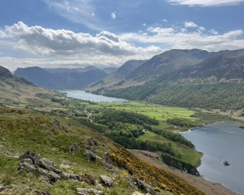
The far northern edge of the Lake District National Park is dominated by a single, isolated group of rolling hills. Known as the Northern Fells, these are mostly rounded tops with smooth, often grassy or heathery slopes, but the group also includes Skiddaw and Blencathra, both of which display more striking features including crags and precipitous arêtes. Away from Skiddaw and Blencathra, the main tops include Bowscale Fell, Carrock Fell, High Pike, Knott and Great Calva. Generally lacking the steep, often rocky slopes of the fells further south, the walking here tends to be easier but boggier.
The main watercourses draining the Northern Fells are Glenderaterra Beck and the River Glenderamackin, which feed into the River Derwent via the River Greta; and the River Caldew, which cuts a deep trench through the heart of the group and eventually meets up with the River Eden in Carlisle.
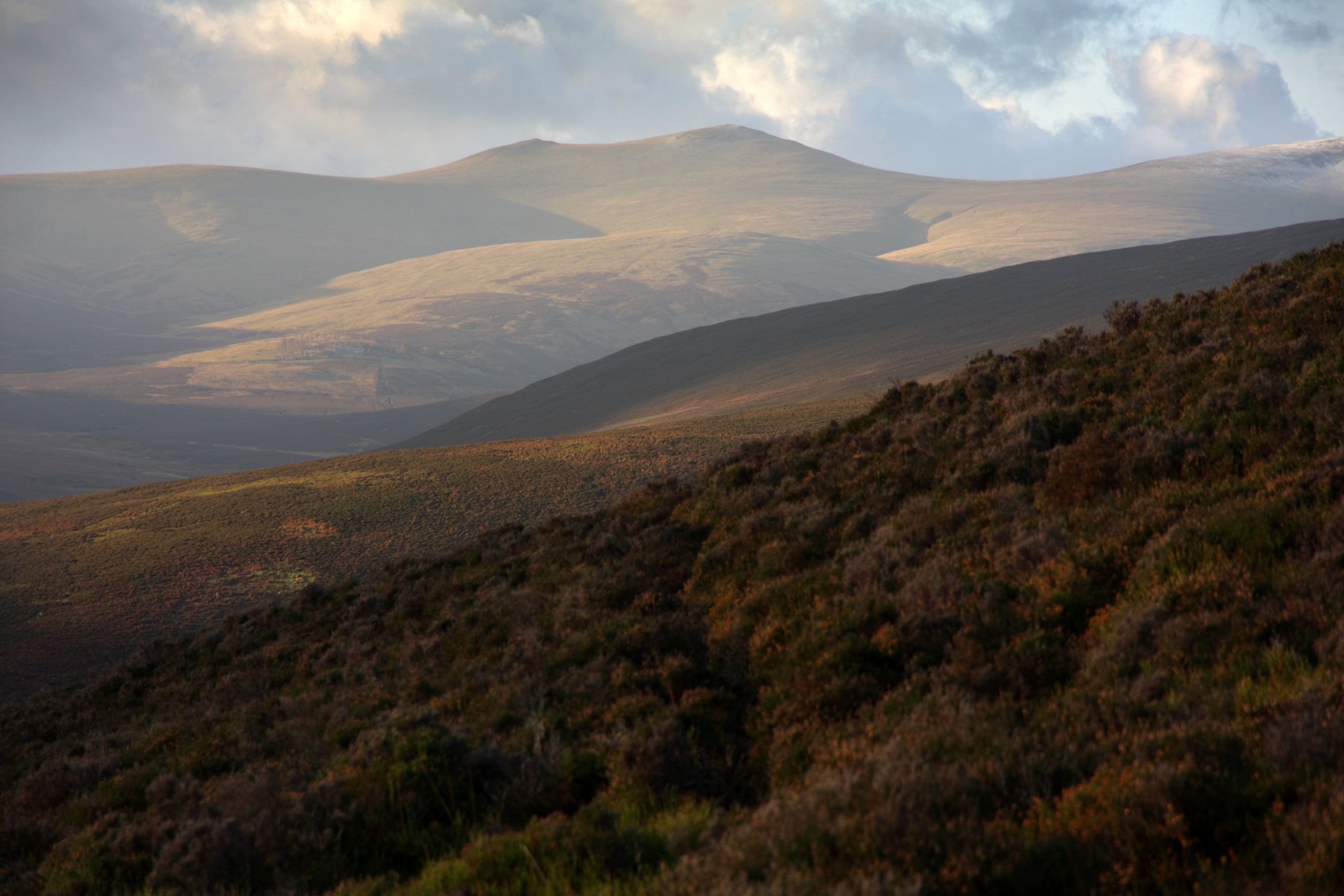
The Cumbria Way, a 73-mile long-distance walking route, cuts through the middle of the Northern Fells on its way from Ulverston in the south of the county to Carlisle in the north. The route’s high-level option visits the top of High Pike (2158ft/658m), a grassy summit that’s popular with local walkers and known for its far-reaching views encompassing the Pennines, the Cheviot in Northumberland and the hills of Dumfries & Galloway in southern Scotland. Neighbouring Carrock Fell (2168ft/661m) is topped by the remains of Cumbria’s largest Iron Age hill settlement, thought to have been occupied by the Brigantes, the Celtic tribe that dominated northern England in pre-Roman times.