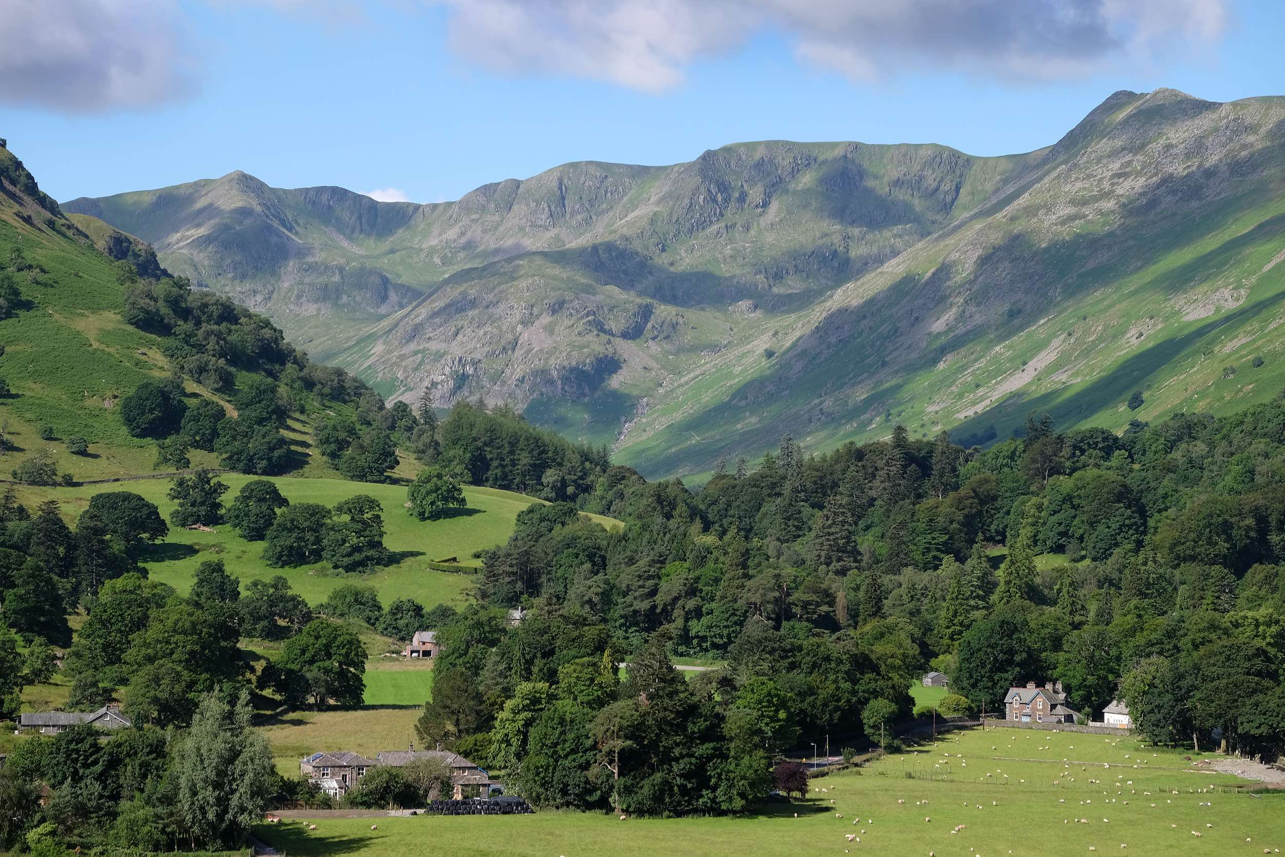
Helvellyn… It’s a name that manages to be both authoritative and somehow whimsical at the same time. How can any walker resist that alluring combination? But it’s not the sound of the word alone that pulls the crowds; it’s more to do with the magnificent appearance of this glacier-sculpted mountain and its stature. This is, after all, England’s third highest peak, reaching an altitude of 3116ft (950m) above sea level. And it’s a special place in ecological terms too, its quietest corners harbouring extremely rare plants that have survived since the end of the last glacial period, including purple saxifrage and Alpine cinquefoil.
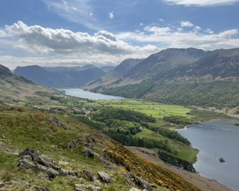
Helvellyn forms the highest point in a long line of fells that divides the Grasmere and Thirlmere valleys in the west from Ullswater in the east. It’s a bit of Jekyll-and-Hyde affair, its western faces consisting of steep but generally smooth slopes that rise steadily from the valley, while the east is a different beast entirely. This is the side of the mountain from which glaciers have gouged great chunks, creating corries and hidden coves as well as almost vertical cliffs and vertiginous arêtes. While the west is grassy and sedate, the east is an edgy, rock-bound world. In full winter conditions, you’ll find ice climbers clinging to the east-facing headwalls while the exposed, rocky ridges of Striding Edge and Swirral Edge attract mountaineers. There are even ski runs up here, the Lake District Ski Club operating a single tow and a heated members’ hut on nearby Raise.
But that’s not to say Helvellyn is the domain solely of serious outdoor folk; many thousands of ordinary walkers make it to the summit every year. There are at least eight well-used approach paths from the east and the west as well as countless other ‘secret’ routes to the top. From Glenridding, in the east, the most exciting way to the summit is via Striding Edge, one of the two precipitous arêtes cradling Red Tarn, a rocky tightrope walk along an airy ridge with some scrambling along the way. The other arête is Swirral Edge, less scary than its neighbour but still requiring a head for heights, surefootedness and, in winter, mountaineering equipment and experience.
Other routes from the east include the valley path through spectacular Grisedale and the zig-zagging Keppel Cove track. From the west, walkers start from the Swirls car park beside Thirlmere, Wythburn church, Grasmere and Dunmail Raise, among others. The latter, starting from the 781ft-high pass on the A591, keeps the total ascent to the bare minimum.
The summit is a large, flat area, with enough room to land a plane on – and someone once did. (John Leeming and Bert Hinkler landed an Avro 585 Gosport here in December 1926 as a publicity stunt.) Those who reach the top will be greeted by a cairn, trig pillar, cross-shaped shelter and, on a good day, far-reaching views in all directions. The nearby exit from Striding Edge is marked by a plaque telling the story of Charles Gough, whose body had been found on steep ground on the mountain in 1805. His rotting remains had been guarded for three months by his dog, a story that inspired poetry remarking on the animal’s loyalty. The more cynical questioned how the dog had survived, suggesting the state of Gough’s corpse provided the answer.