Snaking its way for 84 magnificent miles across the far north of England, the Hadrian’s Wall Path National Trail follows the line of the wall that once marked the north-western frontier of the massive Roman Empire. The National Trail was established in 2003; the wall itself is a little older, having been constructed on the orders of the Roman Emperor Hadrian in AD122.
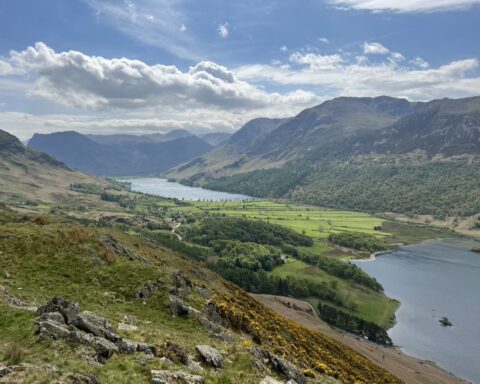
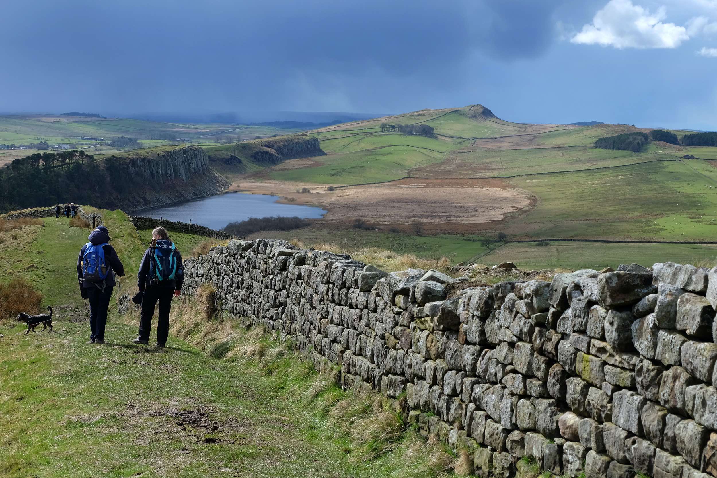
Like the wall itself though, the long-distance walking route starts in Bowness-on-Solway, beside the salt marshes and mudflats of the Solway Coast Area of Outstanding Natural Beauty, and ends at Wallsend, close to the mouth of the River Tyne. Along the way, it passes through Port Carlisle, Burgh by Sands, the historic city of Carlisle, Walton, Lanercost, Banks, Birdoswald, Willowford and Gilsland, all in Cumbria, before crossing the county border into Northumberland. Its eastward journey continues along the dramatic Great Whin Sill ridge, over Steel Riggs, through Sycamore Gap and past the vast ruins of Housesteads Fort. Beyond the Roman fort at Chesters, where it crosses the River North Tyne, the trail marches on into the western suburbs of Newcastle-upon-Tyne and then follows the banks of the River Tyne to journey’s end.
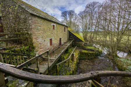
For the first few miles, little can be seen of the wall on the ground, although the route passes through some attractive scenery with lots of wildlife and other historic interest. The Romans really only begin to make their presence felt when you get to Banks. From here on in, not only does the natural scenery grow in grandeur but the defensive structures left behind by the Mediterranean invaders become ever more spectacular. In Cumbria alone, walkers will pass the well-preserved turrets at Banks, a fort at Birdoswald, the longest continuous stretch of the wall still standing (also at Birdoswald), the remains of a Roman bridge over the River Irthing at Willowford and the substantial ruins of the Poltross Burn Milecastle at Gilsland.
Reasonably fit walkers won’t find the route too taxing – much of it crosses relatively flat terrain. Having said that, the section between Birdoswald and Chollerford includes a lot of steep ascents and descents, some coming one after the other in quick (and taxing) succession. Unless you’re an ultra-runner and plan to complete the route in a single day, you’ll end up staying in B&Bs or on campsites each night. Considering the Hadrian’s Wall Path passes through some sparsely populated areas, the facilities for walkers are very good during the main season; from May until October, you’re never too far from a B&B, pub or café. A number of companies offer baggage transfer services for those who don’t want to carry all their gear on their backs, and some will organise everything for you – from your overnight accommodation to the transport at either end. You could even opt to join a guided trip, although it’s hard to go wrong on the trail itself – there are fingerposts at path junctions, while gates and stiles are marked with white acorns, the symbol of the National Trails. Maps and guidebooks can be purchased online or from bookshops.