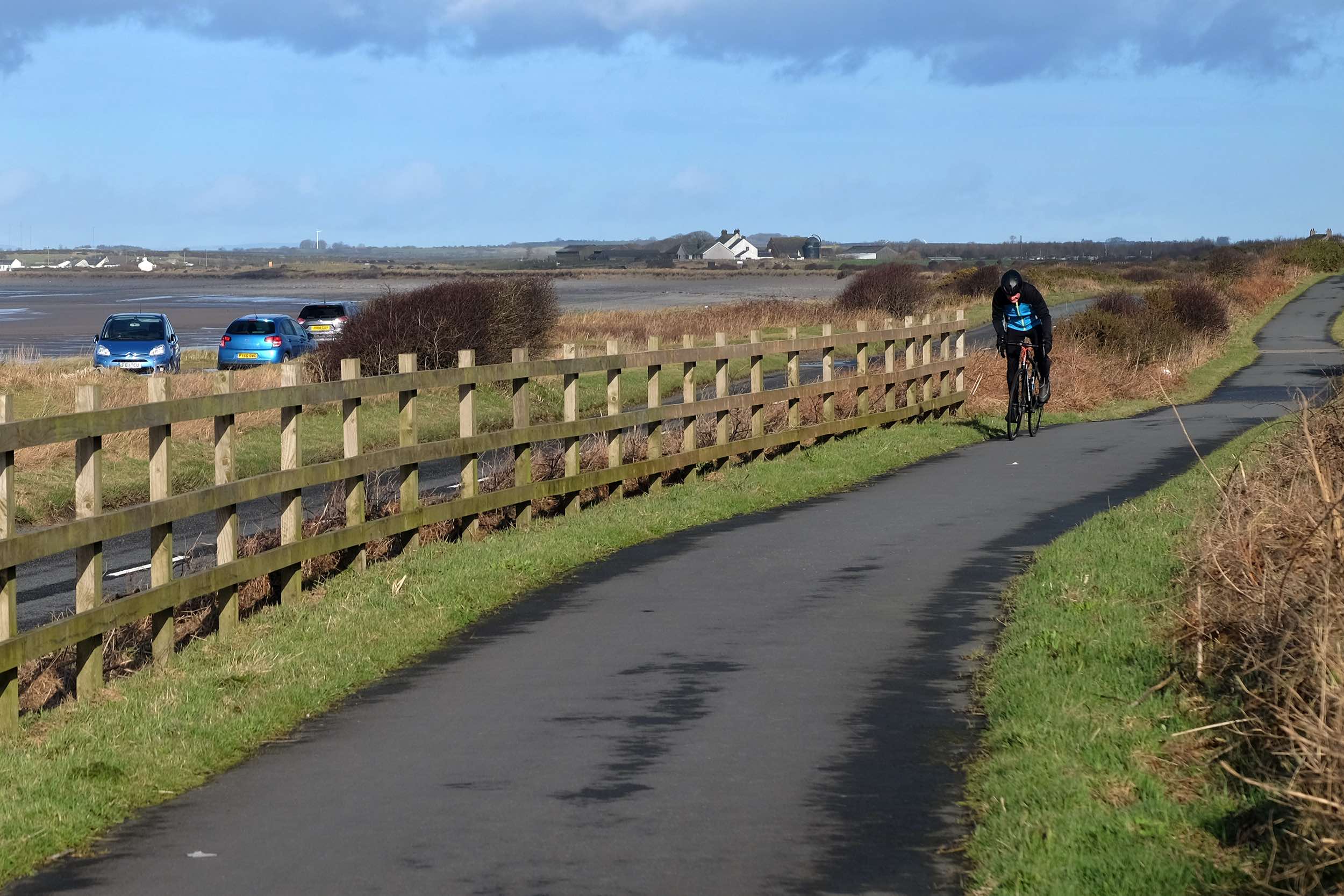
Hadrian’s Cycleway follows the route of the Roman Empire’s north-western frontier for 170 miles across the far north of England – from Ravenglass on the Lake District coast to South Shields in Tyne and Wear. Coinciding with Route 72 on the National Cycle Network, it heads up the Cumbrian coast and across the marshes of the Solway Coast Area of Outstanding Natural Beauty before tackling hillier countryside near Hadrian’s Wall. Towns visited en route include Whitehaven, Maryport, Silloth, Carlisle, Brampton, Haltwhistle, Hexham, Prudhoe and Newcastle.
The cycleway uses country lanes, disused railways and dedicated cycle paths, with almost one-third of it being traffic-free and less than three per cent of it on unsealed surfaces.